New Orleans rightly got the bulk of attention in Hurricane Katrina’s aftermath — and still does when looking back 20 years later — due to man-made issues, like the levees breaking.
But when it comes to the worst of the actual Category 3 storm, that was saved for coastal Mississippi.
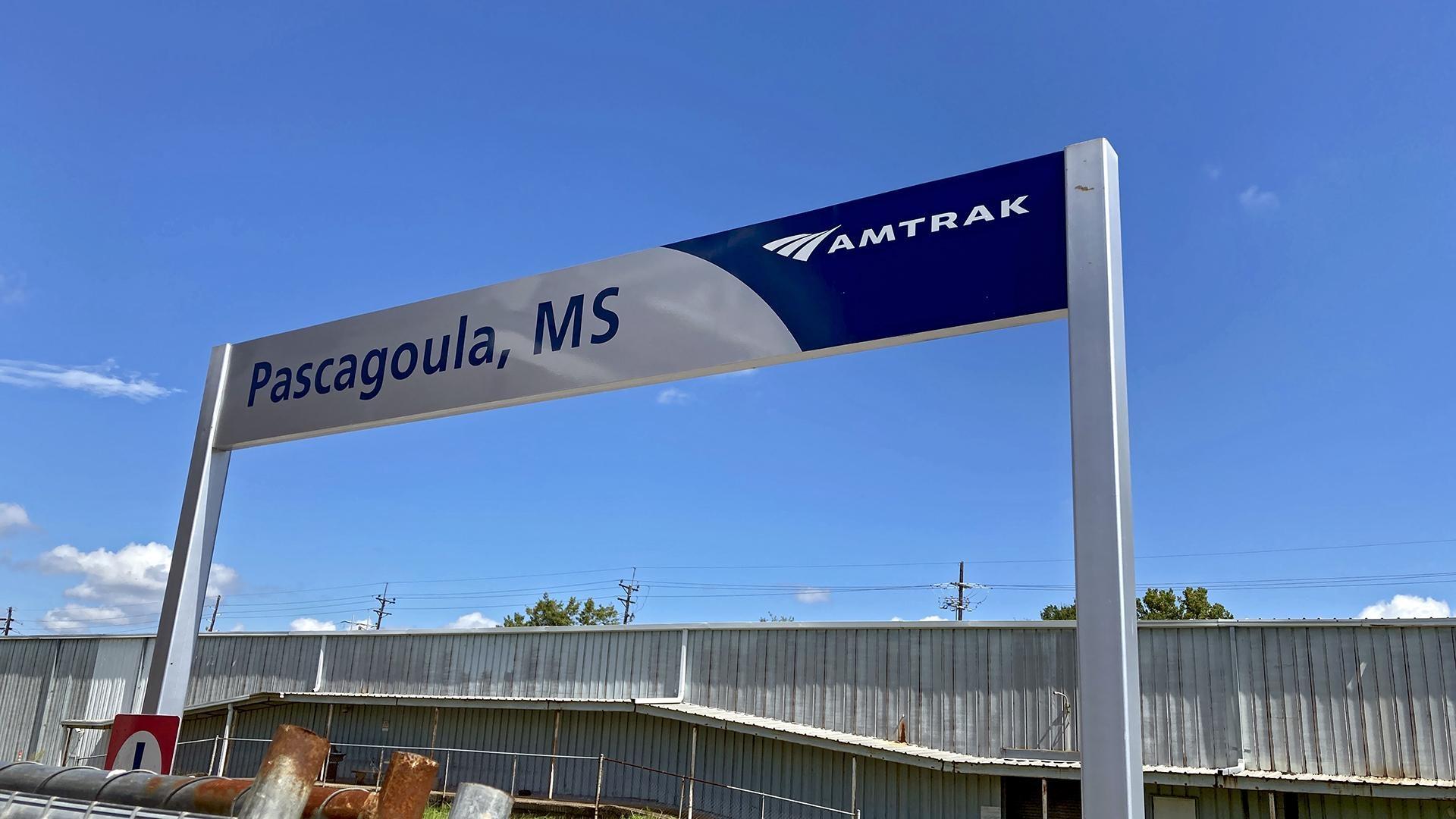
In Pascagoula, Mississippi, which is as far east from New Orleans as any Mississippi city on the Gulf Coast gets, more than 90% of the city was flooded.
“It flattened just about everything,” Paige Roberts said. “And if it didn’t flatten it, it lifted up and moved it.”
Roberts is the president and CEO of the Jackson County Chamber of Commerce, where Pascagoula is the county seat. During Katrina, she was the executive director of the Southeast Mississippi Chapter of the American Red Cross.
The footprint of Katrina’s wrath was 93,000 square miles — almost exactly the size of Great Britain. Mississippi was mostly on the northeast side of the storm, also known as the “dirty side.” Hurricanes rotate counterclockwise, so the winds coming from the west side of Katrina swept across the Gulf and then dragged that water north into Mississippi’s coastal counties.
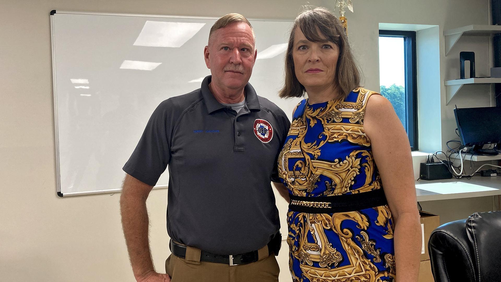
Terry Jackson, Jackson County’s emergency management operations coordinator, said that it looked like an atomic bomb had fallen on Pascagoula at the time.
“A lot of the federal assets were directed to Louisiana,” Jackson said. “And Mississippi was kind of forgotten.”


