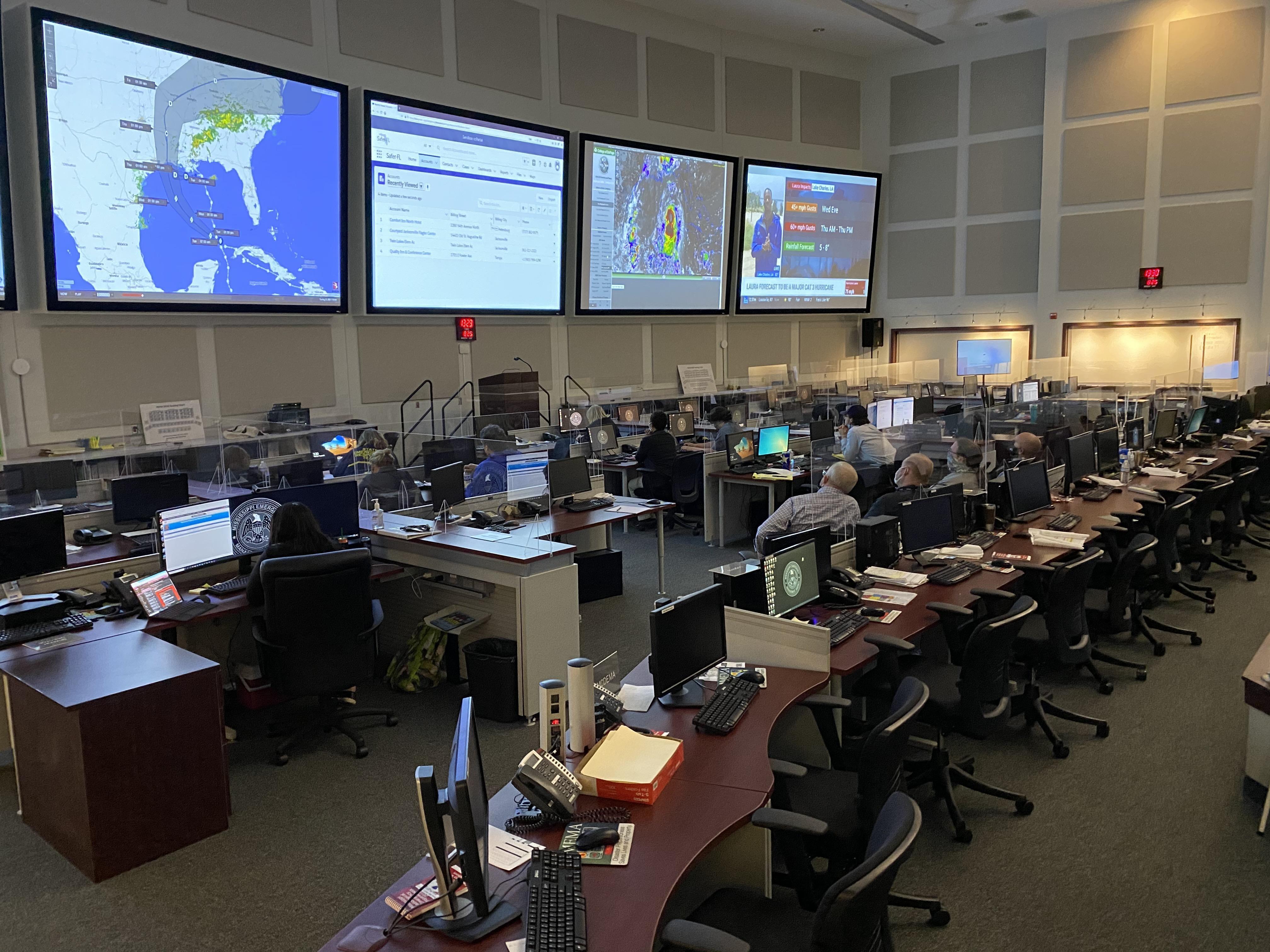
Hurricane Laura is nearing the gulf coast, and the storm could grow to a category three hurricane. Laura is projected to make landfall in Louisiana, but officials say high winds and rain will occur across the state with the potential for tornados. Governor Tate Reeves says after the storm makes landfall and travels north, it's expected to turn east and hit northern Mississippi. "And so we could see significant amounts of rainfall in the northernmost area of our state, particularly in that northwest quadrant. And so we'll continue to monitor that," says Reeves. "Again, it's currently a category one hurricane, and could get up to a category three hurricane."
Officials say Tropical Depression Marco is no longer a threat to Mississippi, but Hancock county was impacted by flooding. Greg Michel, Director of the Mississippi Emergency Management Agency, says Laura could bring a storm surge of up to five feet of water.
"So we'll have some localized area flooding particularly down in Hancock county where they always have a lot of that. It's just something we've got to watch, not concerned about it," says Michel. "The EMA directors are postured to deal with it, so we're just gonna have to watch it on a daily basis. We've got about two to three more days we're gonna have to really stay vigilant."
More than half a million people have been ordered to evacuate the Texas and Louisiana coasts ahead of Hurricane Laura. It is the largest U.S. evacuation during the coronavirus pandemic.