Coast prepares for heavy rain, winds and flood as Tropical Storm Isaias develops

Email share
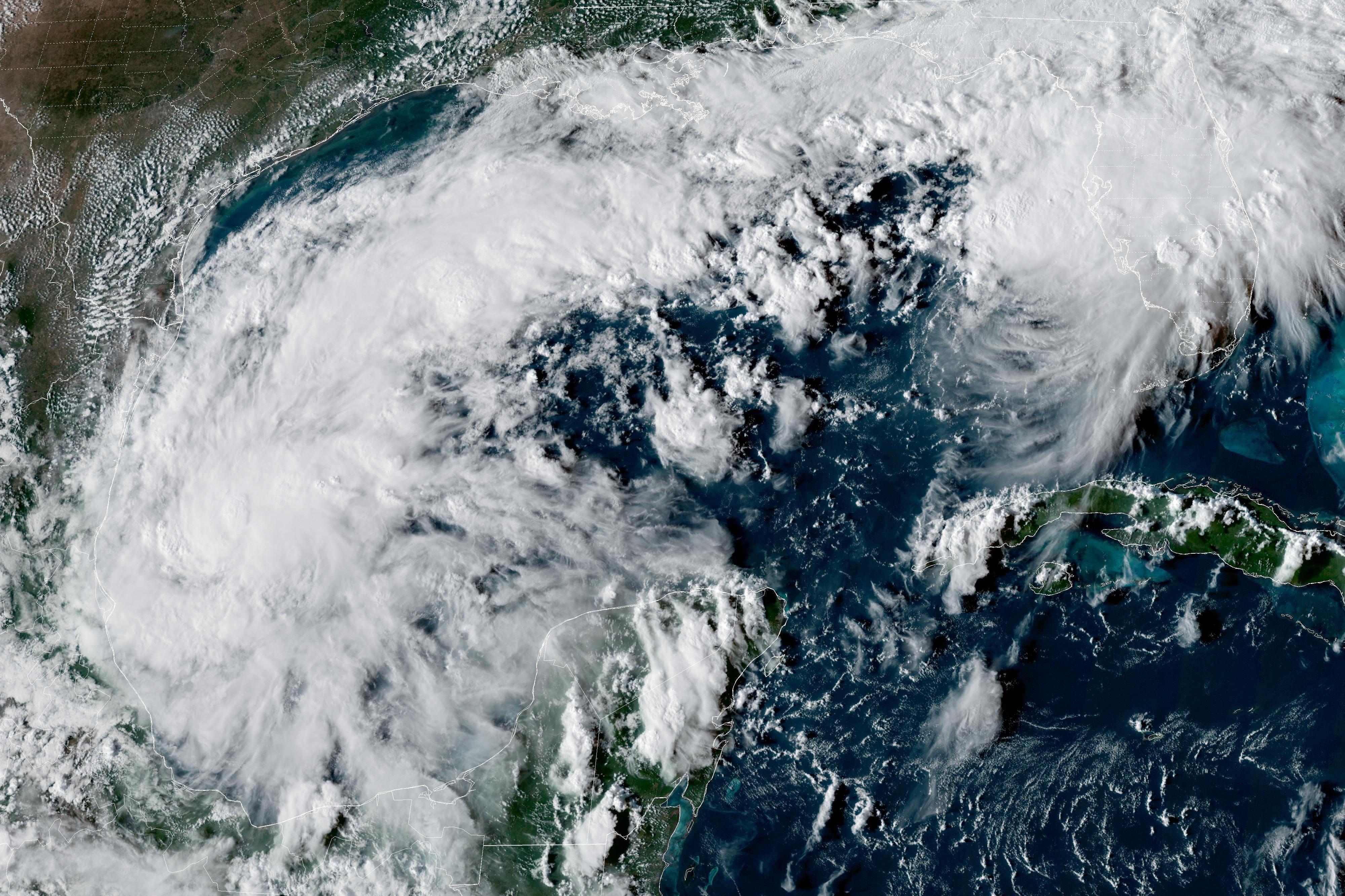
This satellite image from the U.S. National Oceanic and Atmospheric Administration (NOAA) shows Tropical Depression 9—which became Storm Isaias—over the Gulf of Mexico on Tuesday, October 6, 2026.
(NOAA via AP)
Local and national weather officials are monitoring tropical storm Isaias as it approaches the Mississippi Gulf Coast. The latest update from the National Hurricane Center states the storm is moving East at around eight miles per hour, expected to make landfall across New Orleans, La to Pensacola, Fla. 

Coastal counties east of the storm could be looking at a five-to-seven-foot storm surge range and six to ten inches of rainfall in some areas, according to Mississippi Live Weather Chief Meteorologist Matt Laubhan. 

Lauhban said because of certain conditions, Isaias could intensify quickly. 

"It's going over near record warm water in the Gulf of Mexico. That means that there's a very real possibility that it intensifies fairly rapidly at some point tomorrow as it's making its way northward, possibly as high as a category two, maybe category three hurricane,” Laubhan said. 

He said because of circumstances, Mississippians should be prepared for weather outcomes to change fast.  

“People need to be prepared to listen to local authorities because it is entirely possible, with as quickly as this strengthens, that the messaging on this could shift quickly as well,” Lauhban said. “It is entirely possible that they go to bed tonight with this [being] just another tropical storm and wake up tomorrow morning with a category two hurricane.”

Local preparation

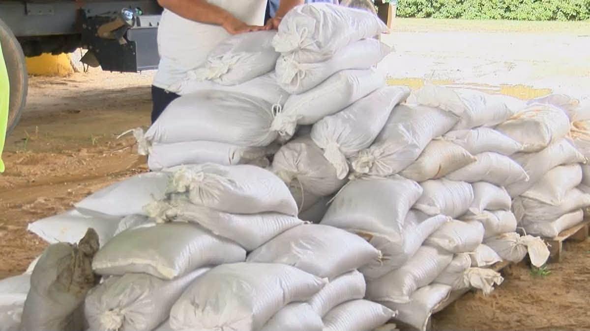
Jackson County Emergency Services Director Earl Etheridge said officials are declaring a state of emergency for the county and will have sandbags available for residents. Etheridge said the county is still deciding whether to open storm shelters for citizens. 

“At this point in time, citizens should be preparing just like they should every year when we ever have storms for the possibility of landfall and power outages in the county. That's what they should be doing right now,” Etheridge said.  

He added the areas along the Pascagoula and Escatawpa River are most subject to flooding depending on conditions.  

Hancock County will have self-serve sandbag sites open across the county, according to a press release from Holly Bilbo. Locations include Hancock County Emergency Operations Center, Hancock County Farmer’s Market, Diamondhead City Hall, Lakeshore Community Center and West Hancock Fire Department.   

Harrison County Emergency Management is meeting at 1pm to discuss plans and preparations ahead of the storm.  

Filer image
In preparation for heavy rain, Harrison County opened multiple self-serve sandbag locations. 
Via the Harrison County MS Emergency Management Agency Facebook

Continued monitoring

Filer image
Tropical Storm Isaias has developed over the southwestern Gulf and is expected to strengthen into a hurricane before approaching the northern Gulf Coast Friday . While most severe impacts will remain concentrated along the coast, heavy rain, flooding and gusty winds will be possible further inland across the forecast area. Please continue to monitor forecast updates for further details.
From the National Weather Service Jackson

The Mississippi Emergency Management Agency (MEMA) is urging citizens to prepare by checking supplies, securing property, having an evacuation plan and staying connected. 

Residents can monitor tropical storm Isaias through the National Weather Service in Jackson, the National Hurricane Center, visit MSEMA.org or local weather outlets in their area for specific information.