


As of this morning, the bulk of Francine's strength has already been used on Louisiana and southern Mississippi. But much of coastal and southern Mississippi will remain under a tropical storm watch through the end of the day, and life-threatening storm surge is expected to peak for the coast during the morning hours.
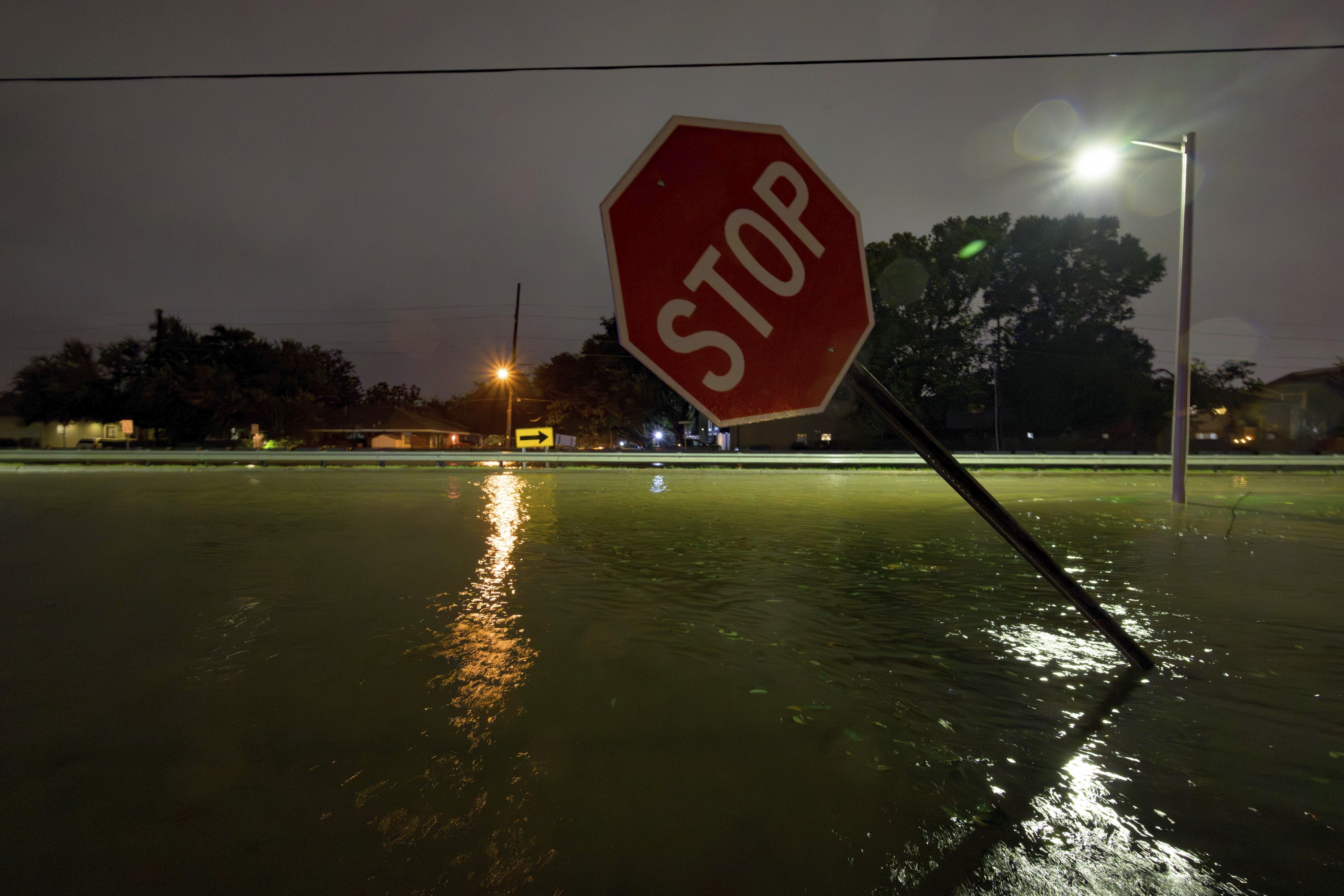
Flash flooding caused by heavy rains and storm surge began late last night. According to the Hancock County Emergency Management Agency, nearly 400 streets in the county were at some stage of flooding as of this morning.
Brian Adam is Hancock County's emergency manager.
"We're still waiting and assessing our low-lying areas where the flooding is occurring and will continue to occur," Adam told MPB News. "Our main problem right now is the flooding from storm surge."
Bay St. Louis Mayor Mike Favre says he expects the storm surge to peak around 5 a.m., coinciding with the day's highest tide.
But even as Francine continues to weaken and move further north into Mississippi, officials at the National Weather Service expect heavy rainfall and a risk of 'considerable' urban and river flooding across Mississippi through the end of today.
"Going through the morning, we'll see this rain -- heavy at times -- to continue," said Eric Carpenter, a senior meteorologist at the NWS of Jackson. "The winds will pick up at some point this morning too, and then everything with the storm should start dying off from south to north as you go through the state."
Entergy and Mississippi Power, the state's two leading energy providers, expect outages to continue to spread throughout the day. As of the time of publication, roughly 15,000 Mississippians were without power due to the storm.