


Governor Tate Reeves has declared a state of emergency as Hurricane Ida is on a trajectory to make landfall in Louisiana and later cross over into Mississippi around 7:00 p.m. Sunday. The storm is expected to be a Category 3 or 4 hurricane with wind speeds of around 100mph. In Hancock County, storm surges could range from 7 to 11 feet. And storm surge could rise as high as 4 to 7 feet in Harrison and Jackson County. The storm will travel north-northeast, passing over Vicksburg around 7:00 a.m. on Monday, and Batesville by 7:00 a.m. Tuesday. This storm could bring heavy rain and high winds across the state, which could damage trees, homes and down power lines.
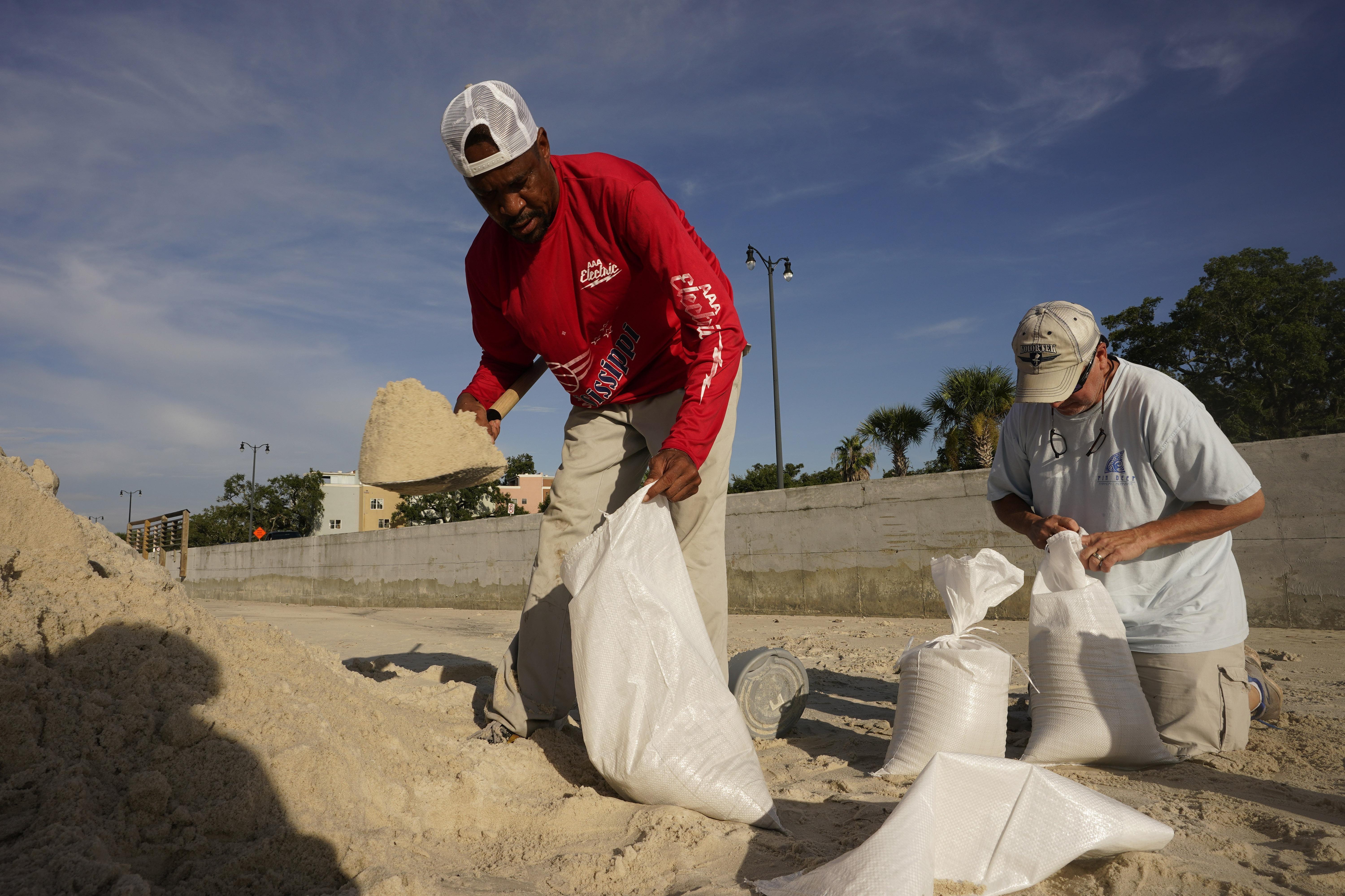
Steven McCraney, Director of the Mississippi Emergency Management Agency says residents should find ways to seek shelter if they are in a storm surge area along the coast. He says not only will that water inundate homes, but it could also have strong currents that can damage structures. The state has mobilized emergency preparedness utilities like sandbags, tarps, and other commodities to prepare the state’s storm shelters. A list of open shelters and sandbag locations can be found on MEMA’s website.
McCraney is also asking residents who live along the state’s evacuation highways and interstates to use back roads as a means of keeping routes clear of local traffic and allowing those evacuating clear pathways to safety. Search and rescue teams are also prepared to assist with disaster response along the gulf.